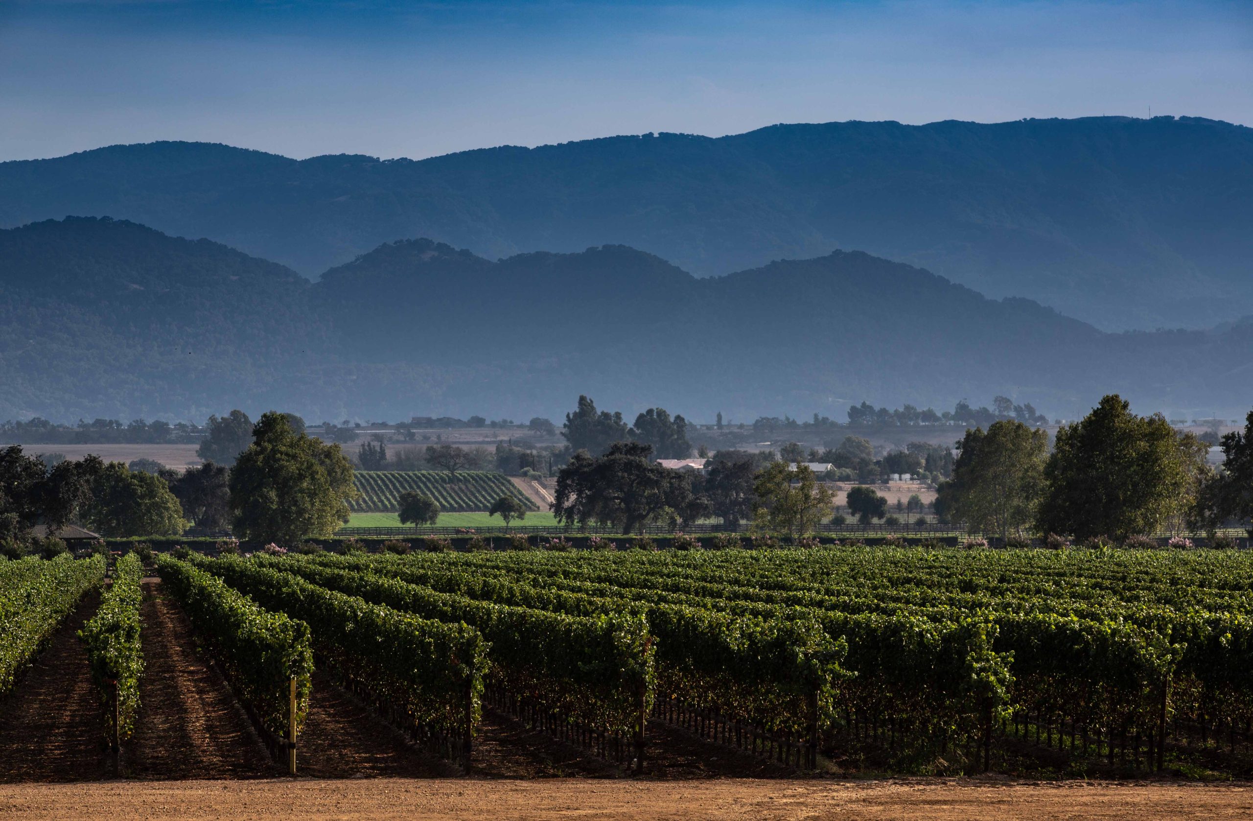
Location –
Rancho Cañada de Los Pinos runs from Roblar Avenue on the north to Casey Avenue on the south, a half mile west of Mora Avenue in Santa Ynez.
Appellation –
It is part of Los Olivos District American Viticultural Area (AVA) situated in Santa Barbara County, California, approximately 30 miles from the Pacific Ocean. Established in early 2016, it is a sub-region of the Santa Ynez Valley AVA and spans an area of roughly 22,820 acres. The district’s boundaries are defined by the neighboring AVAs of Ballard Canyon to the west and Happy Canyon of Santa Barbara to the east. The AVA includes the townships of Ballard, Santa Ynez, Los Olivos, and Solvang. It extends south to the Santa Ynez River and north to 1,000 feet in elevation.
The AVA includes more than 1,200 planted acres across 47 vineyards and more than a dozen wineries.
It is distinguished by its relatively uniform topography, geology, and soil profile.
Climate-
The average growing degree days (5 year average) is 3,234, Growing Region III.
The vineyard’s inland location reduces the marine fog to only a thin layer. This low level of fog produces warm daytime temperatures, with the average highs of 85-90° during the growing months and cool nighttime temperatures, with an average low of 45°.
This climate is beneficial to fruit ripening, sugar production and the maintenance of grape acidity.